- Type: Trekking
- Duration:9D/8N
- Distance: 97 km
- Season: March to November
- Departure: Check Availability
- Minimum of Passengers: 2 people
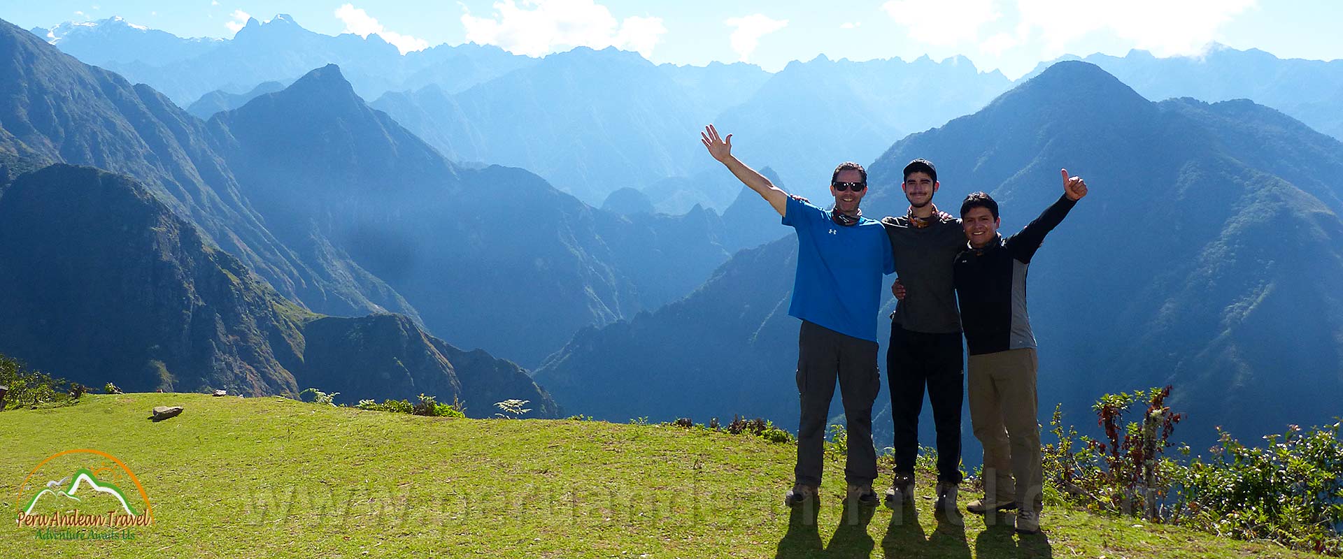
Choquequirao Machu Picchu Trek is the route that connects two important Inca cities in Cusco, these two Inca cities are located in the Peruvians mountains, this trekking route lasts 9 days and Walk through the Peruvian Andes is a unique experience.
Choquequirao, the golden cradle and Machu picchu, the lost Inca city, are built high up in the the mountains, almost inaccessible, with spectacular views, interconnected by Inca trails.
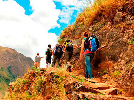
This trekking route offers a spectacular landscapes and walks through traditional Andean villages. In many visitors opinion this is the best trekking route offered in the Cusco Region, part of which is done on horseback.
Choquequirao Trek to Machu picchu is a new option and not as well-used by tourists, allowing a more authentic experience where one can still see locals living in the traditional Peruvian way.
Day 1: Cusco - Saywite - Cachora - Chiquisca
At 6:00 am you will be picked up from your hotel by our guide. the first place to visit will be Saywite which is an archaeological center whose main attraction is the monolith of Saywite (3,500 m - 11,482 ft), stone in which are carved anthropomorphic, Zoomorphic and Fitomophic figures.
Then We travel by bus to the village of Cachora (2,800m, 9,186 ft), and the start of a big adventure Choquequirao Trekking! We arrive at Cachora, then We will continued to Punta Carretera, where we meet our team who help load up the pack mules.
We will start to walk, with fantastic view of Apurimac Canyon, we eat lunch in Capuliyoc (2,855 m - 6,366 ft), then we walk down to Chiquisca campsite where we spend the night.
- Total distance: 7 km
- Estimated walking time: 3 to 4 hours
- Maximum altitude: 3,500m (11,482 ft)
- Campsite altitude: 1,910 m (6,266 ft)
Day 2: Chiquisca - Playa Rosalina - Marampata - Choquequirao
After breakfast we leave Chiquisca (1,910 m - 6,266 ft), We will arrive to Playa Rosalina (1,500 m - 4,921 ft)and we will cross the Apurimac River by a bridge where a tough ascent begins, we can note a change of vegetation and climate, followed by the community of Marampata (2,870 m - 9,416 ft),where we have amazing views while eating lunch.
After lunch we will continue our trip to the choquequirao camp (2,950 m - 9,678 ft), where our camp will be.
- Total distance: 17 km
- Estimated walking time: 7 to 8 hours
- Maximum altitude: 2, 950 m (9,678 ft)
- Campsite altitude: 2, 950 m (9,678 ft)
Day 3: Choquequirao Full Day
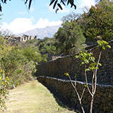
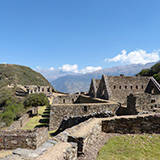
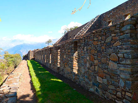
After breakfast we leave Choquequirao camp, We will visit the archeological complex of Choquequirao (3,100 m - 10,170 ft)and try to visit most of the Inca sites.
Afterwards we may be lucky enough to see "the flight of the Condors". Spending the rest of the afternoon among the ruins, we then continue to our campsite located close to Choquequirao archeological site (3035m, - 9,957 ft) where we can the enjoy the sunset.
- Estimated walking time: 7 to 8 hours
- Maximum altitude: 3,100 m (10,170 ft)
- Campsite altitude: 2, 950 m (9,678 ft)
Day 4: Choquequirao - Pinchaunuyoc - Maizal
After breakfast we will have enough time to visit Hanan (high-up) and lower down Urin, appreciating the terraces built near Apurimac river. After lunch we walk for around three hours through open grasslands and the rainforest to arrive at our next camp near the ruins of Pinchaunuyoc, recently discovered in 1998.
These ruins are something very special - all of a sudden they appear out of the rainforest, almost invisible because of the thick layer of mosses and other vegetation that covers them.
We will continued to the White River (Rio Blanco), we will have our lunch and a relaxing bath in the waters of the white river (1,900m - 6,233 ft). We then continue on to our campsite, located in Maizal (3,000 m - 9,842 ft).
- Total distance: 14 km
- Estimated walking time: 6 to 7 hours
- Maximum altitude: 3,300 m (10,826 ft)
- Campsite altitude: 3,000 m (9,842 ft)
Day 5: Maizal - Victoria Pass - Yanama Village
We continue our journey, walking through the silver mines, some of which are abandoned. In Inca times the silver (Qolqe) was used as an offering and represented the moon.
We eat our lunch near the Victoria pass (4,200m - 13,779 ft), followed by one hour to relax and then a descent to Yanama (3,500m, 11,482 ft), a typical Andean village which still retains traditional customs. We stop here for the night.
- Total distance: 13 km
- Estimated walking time: 6 to 7 hours
- Maximum altitude: 4,200m (13,779 ft)
- Campsite altitude: 3,500 (11,482 ft)
Day 6: Yanama Village - Mariano Llamoca Pass - Totora
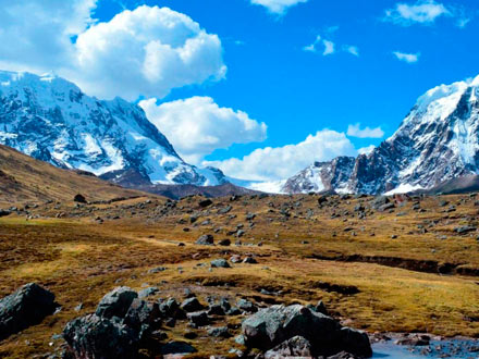
Today is the hardest day as we will be climbing from 3,500m up to a pass at 4,550 m close to Cordillera del Vilcanota, the highest part of the trek at Mariano Llamoca Pass (4,550 m - 14,927 ft). Here We will feel the same cold weather that we find on the Ausangate trek 5 days.
A spectacular day! We will descend into the upper rainforest where the climate becomes semi-tropical and stop for lunch. After a total of seven hours of hiking, we arrive at our sixth camp in Totora (3,600 m - 11, 811 ft).
- Total distance: 15 km
- Estimated walking time: 7 to 8 hours
- Maximum altitude: 4,550 m (14,927 ft)
- Campsite altitude: 3,600 m (11,811 ft)
Day 7: Totora - Collpampa - La Playa - Lucmabamba
After breakfast we continue our journey, an easier walk than the previous days, as we begin the hiking downwards toward Collpapampa, a village with coffee plantations, bananas, and cocoa.
In the afternoon will arrive at La Playa, afther to visist la playa we will continued to Lucmabamba (2,000 m - 6,561 ft) where we have our last camp.
- Total distance: 12 km
- Estimated walking time: 6 to 7 hours
- Maximum altitude: 3,600m, (11,811 ft)
- Campsite altitude: 2,000m (6,561 ft)
Day 8: Lucmabamba - Aguas Calientes
We start walking early and will visit an archaeological site known as Llaqtapata (2,700 m - 8,858 ft), part of the Inca Trail. This s optional as there is a further two hour walk. After visiting Llaqtapata, we continue our trip and arrive at the Hidroelectrica train station, where we eat lunch. After lunch we take the train to Aguas Calientes, (2,040m, 6,692 ft) and spend the night in a hotel.
- Total distance: 10 km
- Estimated walking time: 4 to 5 hours
- Maximum altitude: 2,700 m (8,858 ft)
- Lodging altitude: 2,040m (6,692 ft)
Day 9: Aguas Calientes - Machu Picchu - Cusco
We get up at 5.00am, to take the first bus to Machupicchu. Machupicchu now considered a Wonder of the World, is undoubtedly impressive, not only the Inca city itself but also the natural beauty that surrounds it.
We will have a guided tour for around two and half hours. After that you can explore the site yourself, or climb up Waynapicchu, the neighboring mountain (takes around one hour). We need to be back in Aguas Calientes by around 2.30pm to catch a train back to Cusco.
Includes
- Hotel pick-up in Cusco
- Bus transportation from Cusco to Cachora (where we start the walk)
- Professional Guide
- Horses to carry the company's equipment
- Cook and meals (8 breakfasts / 8 lunches / 8 dinners)
- Camping equipment (tents, mattresses, tables, chairs, kitchen tent and dinning tent)
- Train from Hidroelectrica to Aguas Calientes
- Hotel in Aguas Calientes
- Bus ticket from Machu picchu to Aguas Calientes round trip
- Entrance fees to Choquequirao and Machu picchu
- Train ticket from Aguas Calientes to Cusco
- Transportation from Ollantaytambo to Cusco
Not Included
- Breakfast on first day and lunch on day 8
- Entrance to Huaynapicchu Mountain (USD $ 20.00)
- Tips for crew (Professional Guide, Cook, Muleter)
- Entrance to visit the hot spring in Aguas Calientes (10 soles)
- Sleeping bag
- Vistadome train service (USD $50 plus)
We recommend bringing
- Backpack
- Hiking shoes or boots
- Rain coat or poncho
- Warmth clothes
- Insect repellent
- Sun block, sun glasses and hat
- Water bottle
- Flash light and knife
- Towel and toilet paper
- Snacks (chocolates, candies, cookies, etc)
- Personal medical kit
- Extra national currency (soles)
- Original passport
